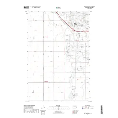
2017 Map of West Fargo South
USGS Topo · Published 2017About this map
The Sheyenne River winds through this 2017 study of Cass County, anchoring the rapid residential and suburban expansion south of West Fargo and west of Fargo. This era of the Red River Valley landscape is defined by a dense grid of newer housing developments, indicated by clusters of streets like Wyndemere Dr, Edgewater Dr, and Lakeridge Dr. Further south, the map transitions toward more traditional rural patterns near the settlement of Horace, where the Drainage Ditch network reflects the intensive water management required for regional agriculture. Genealogists and local historians can pinpoint a local Cem (cemetery) south of the main city limits, while the northern sector is marked by the prominent Ave of Flags, illustrating the area's development as a major regional hub for transit and residency.
Find a feature on this map
92 named features on this map. Tap any name to fly to it.
Don’t see what you’re looking for? This feature index may not catch every label — zoom into the map to look around manually.
Map Details
Editions of this 2017 West Fargo South Map
This is the sole edition of this map. No revisions or reprints were ever made.
Other maps of this area

1895 · Fargo
USGS Topo · 1:125,000

1895 · Casselton
USGS Topo · 1:125,000

1897 · Fargo
USGS Topo · 1:125,000

1897 · Casselton
USGS Topo · 1:125,000

1953 · Fargo
USGS Topo · 1:250,000

1956 · Fargo
USGS Topo · 1:250,000

1959 · Kindred
USGS Topo · 1:24,000

1959 · Fargo North
USGS Topo · 1:24,000

1959 · South West Fargo
USGS Topo · 1:24,000

1959 · Fargo South
USGS Topo · 1:24,000