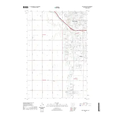
2020 Map of West Fargo South
USGS Topo · Published 2020About this map
The Sheyenne River snakes through the eastern half of this North Dakota landscape, anchoring the development of West Fargo and the southern reaches of Fargo. This survey documents a period of rapid suburban expansion, where traditional section lines and agricultural grids meet modern residential street patterns. The town of Horace sits at the southern end of the sheet, retaining its distinct identity with several local burial grounds nearby, including Horace Cem, Brink Cem, and Saint John Cem. To the north, the infrastructure of West Fargo is heavily detailed, showing the transition from industrial thoroughfares like Main Ave W and the Ave of Flags to growing neighborhoods. The map provides a clear look at how the region's water management and transport networks have shaped the modern footprint of Cass County.
Find a feature on this map
80 named features on this map. Tap any name to fly to it.
Don’t see what you’re looking for? This feature index may not catch every label — zoom into the map to look around manually.
Map Details
Editions of this 2020 West Fargo South Map
This is the sole edition of this map. No revisions or reprints were ever made.
Other maps of this area

1895 · Fargo
USGS Topo · 1:125,000

1895 · Casselton
USGS Topo · 1:125,000

1897 · Fargo
USGS Topo · 1:125,000

1897 · Casselton
USGS Topo · 1:125,000

1953 · Fargo
USGS Topo · 1:250,000

1956 · Fargo
USGS Topo · 1:250,000

1959 · Kindred
USGS Topo · 1:24,000

1959 · Fargo North
USGS Topo · 1:24,000

1959 · South West Fargo
USGS Topo · 1:24,000

1959 · Fargo South
USGS Topo · 1:24,000