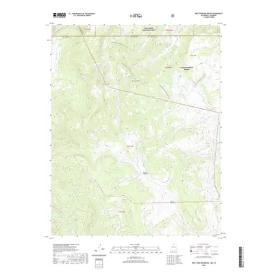
2020 Map of West Fork Rio Brazos
USGS Topo · Published 2020About this map
Brazos Meadows sits at the heart of this high-elevation landscape, where the headwaters of the Rio Brazos system converge along the border of Rio Arriba and Archuleta counties. The drainage network is prominently defined by the W Fork Rio Brazos and the E Fork Rio Brazos, which carve through the terrain beneath Osier Mesa. This 2020 survey documents the modern management of these wild lands, split between the Rio Grande National Forest to the north and the Carson National Forest to the south. The Continental Divide National Scenic Trail winds across the northern portion of the sheet, crossing through Apache Canyon and over multiple ridgelines. Significant for land use researchers, the map details the transition from Colorado into New Mexico, tracing the state line as it intersects various forest service routes like Fdr 87 and local drainages such as Dixie Cr and Arkansas Cr.
Find a feature on this map
25 named features on this map. Tap any name to fly to it.
Don’t see what you’re looking for? This feature index may not catch every label — zoom into the map to look around manually.
Map Details
Editions of this 2020 West Fork Rio Brazos Map
This is the sole edition of this map. No revisions or reprints were ever made.
Other maps of this area

1913 · Summitville
USGS Topo · 1:125,000

1915 · Summitville
USGS Topo · 1:125,000

1918 · Tusas
USGS Topo · 1:125,000

1922 · Conejos
USGS Topo · 1:125,000

1945 · Durango
USGS Topo · 1:250,000

1953 · Durango
USGS Topo · 1:250,000

1954 · Durango
USGS Topo · 1:250,000

1954 · Aztec
USGS Topo · 1:250,000

1955 · Chama
USGS Topo · 1:62,500

1955 · Brazos Peak
USGS Topo · 1:62,500