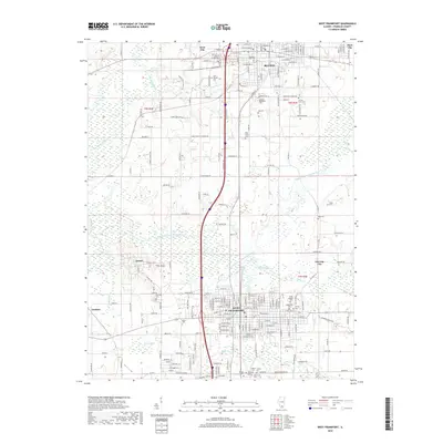
2018 Map of West Frankfort
USGS Topo · Published 2018About this map
West Frankfort and Benton serve as the primary hubs of this southern Illinois landscape, where the grid-like street plans of West City, Steel City, and Orient reveal the densely settled nature of Franklin County. The topography is defined by the winding course of the Big Muddy River and its tributaries, including the Middle Fork Big Muddy River and Ewing Creek, which carve through the region. This 2018 survey highlights a deep-rooted community history through its numerous burial grounds, such as the Masonic-Oddfellow Cem, Lithuanian Cem, and the County Farm Cem. The industrial and rural character of the area is further evidenced by the intersection of major thoroughfares like Pacific Dr and Spring Pond Rd, which link outlying settlements like Deering City and Cambon to the larger municipal centers.
Find a feature on this map
127 named features on this map. Tap any name to fly to it.
Don’t see what you’re looking for? This feature index may not catch every label — zoom into the map to look around manually.
Map Details
Editions of this 2018 West Frankfort Map
This is the sole edition of this map. No revisions or reprints were ever made.
Other maps of this area

1909 · West Frankfort
USGS Topo · 1:62,500

1910 · Herrin
USGS Topo · 1:62,500

1926 · Duquoin
USGS Topo · 1:62,500

1936 · Herrin
USGS Topo · 1:62,500

1939 · Ina
USGS Topo · 1:62,500

1941 · West Frankfort
USGS Topo · 1:62,500

1943 · Ina
USGS Topo · 1:62,500

1949 · Paducah
USGS Topo · 1:250,000

1950 · Paducah
USGS Topo · 1:250,000

1954 · Paducah
USGS Topo · 1:250,000