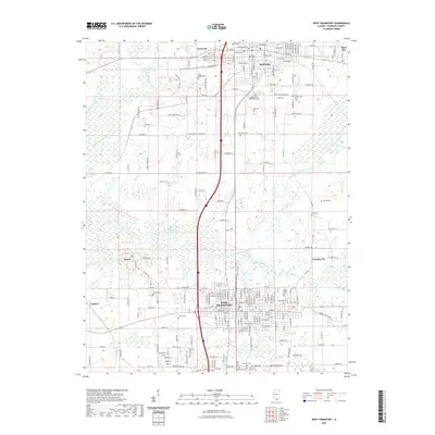
2021 Map of West Frankfort
USGS Topo · Published 2021About this map
West Frankfort and Benton serve as the primary hubs in this portion of Franklin County, where the dense grid of residential streets gives way to the sprawling bottomlands of the Middle Fork Big Muddy River. The landscape is heavily marked by its social and community history, evidenced by a high density of cemeteries that speak to the area's diverse ethnic and civic foundations. Distinctive sites such as the Lithuanian Cem, Masonic and Oddfellows Cem, and the County Poor Farm Cem provide specific points of interest for genealogists tracing early twentieth-century lineages. Smaller outlying settlements including Orient, Steel City, and Deering City are linked by a network of established roads like Co Hwy 9 and Bartlett Ln, reflecting the enduring settlement patterns established around the region's historical agricultural and extraction economies.
Find a feature on this map
110 named features on this map. Tap any name to fly to it.
Don’t see what you’re looking for? This feature index may not catch every label — zoom into the map to look around manually.
Map Details
Editions of this 2021 West Frankfort Map
This is the sole edition of this map. No revisions or reprints were ever made.
Other maps of this area

1909 · West Frankfort
USGS Topo · 1:62,500

1910 · Herrin
USGS Topo · 1:62,500

1926 · Duquoin
USGS Topo · 1:62,500

1936 · Herrin
USGS Topo · 1:62,500

1939 · Ina
USGS Topo · 1:62,500

1941 · West Frankfort
USGS Topo · 1:62,500

1943 · Ina
USGS Topo · 1:62,500

1949 · Paducah
USGS Topo · 1:250,000

1950 · Paducah
USGS Topo · 1:250,000

1954 · Paducah
USGS Topo · 1:250,000