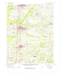
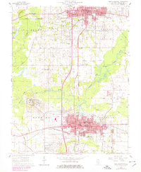
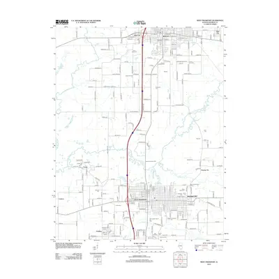
1963 Map of West Frankfort
USGS Topo · Published 1966About this map
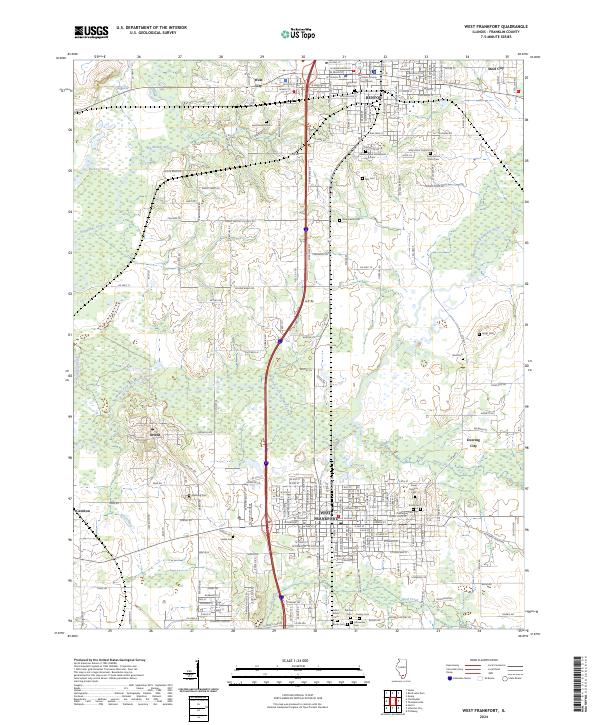
West Frankfort and Benton anchor this mid-1960s study of the Southern Illinois coal belt, revealing a landscape defined by industrial extraction and rural settlement. The map documents an extensive rail network supporting the coal industry, including the Missouri Pacific and the Chicago and Eastern Illinois lines. Notable operations like the Orient No 5 Mine and the Freeman No 4 Mine are clearly marked, alongside numerous strip mines and air shafts that dot the townships.
Find a feature on this map
114 named features on this map. Tap any name to fly to it.
Don’t see what you’re looking for? This feature index may not catch every label — zoom into the map to look around manually.
Map Details
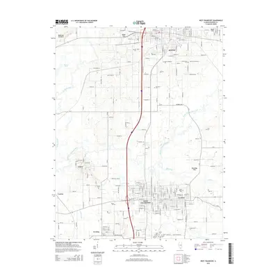
Editions of this 1963 West Frankfort Map
This is the sole edition of this map. No revisions or reprints were ever made.
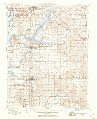
Historical Maps of Marion Through Time
11 maps found
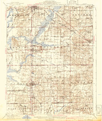
1909 West Frankfort
Franklin County, IL
1941 West Frankfort
Franklin County, IL
1963 West Frankfort
Franklin County, IL
1963 West Frankfort
Franklin County, IL

1984 West Frankfort
Franklin County, IL

1987 West Frankfort
Franklin County, IL
2012 West Frankfort
Franklin County, IL
2015 West Frankfort
Franklin County, IL
2018 West Frankfort
Franklin County, IL
2021 West Frankfort
Franklin County, IL
2024 West Frankfort
Franklin County, IL