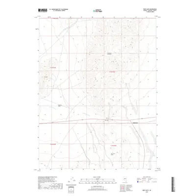
2018 Map of West Gate
USGS Topo · Published 2018About this map
West Gate and the surrounding Churchill County desert landscape appear here as a crossroads of high-altitude basin and range geography. The terrain is defined by the sharp elevations of the Clan Alpine Mountains to the north and the West Gate Range to the south, while the Stingaree Valley and Chalk Mtn dominate the western portion of the sheet. This area is a significant corridor for natural drainage, as seen in the paths of Dixie Valley Wash and Wonder Wash, which trace the low-lying areas between the peaks. The proximity of Middlegate and West Gate suggests a persistent, if sparse, human footprint focused on the few navigable routes through these mountains. The detailed contour lines reveal the complex alluvial fans and steep ridges that dictate the limited infrastructure and travel patterns in this arid Nevada environment.
Find a feature on this map
14 named features on this map. Tap any name to fly to it.
Don’t see what you’re looking for? This feature index may not catch every label — zoom into the map to look around manually.
Map Details
Editions of this 2018 West Gate Map
This is the sole edition of this map. No revisions or reprints were ever made.
Other maps of this area

1908 · Carson Sink
USGS Topo · 1:250,000

1910 · Carson Sink
USGS Topo · 1:250,000

1955 · Millett
USGS Topo · 1:250,000

1957 · Reno
USGS Topo · 1:250,000

1959 · Reno
USGS Topo · 1:250,000

1959 · Millett
USGS Topo · 1:250,000

1960 · Reno
USGS Topo · 1:250,000

1969 · Camp Creek Canyon
USGS Topo · 1:24,000
1969 · Quartzite Mtn NW
USGS Topo · 1:24,000

1969 · Eastgate
USGS Topo · 1:24,000