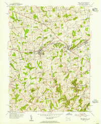
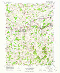
1953 Map of West Grove
USGS Topo · Published 1955About this map
The Pennsylvania railroad and the Baltimore and Ohio line anchor the early 1950s landscape of southern Chester County, connecting the bustling boroughs of West Grove and Avondale. This region is defined by its educational and religious heritage, evident in the presence of the New London Academy and various local schoolhouses such as the Sunnyside Sch and Maple Grove Sch. The intricate network of waterways, including the Middle Branch White Clay Creek and East Branch White Clay Creek, carves through the townships of London Grove and New London, highlighting a terrain historically shaped by milling and agriculture.
Find a feature on this map
44 named features on this map. Tap any name to fly to it.
Don’t see what you’re looking for? This feature index may not catch every label — zoom into the map to look around manually.
Map Details
Editions of this 1953 West Grove Map
5 editions found
Other maps of this area

1898 · Elkton
USGS Topo · 1:62,500

1900 · Elkton
USGS Topo · 1:62,500

1901 · West Chester
USGS Topo · 1:62,500

1904 · West Chester
USGS Topo · 1:62,500

1904 · Coatesville
USGS Topo · 1:62,500

1904 · Wilmington
USGS Topo · 1:62,500

1906 · Coatesville
USGS Topo · 1:62,500

1906 · Wilmington
USGS Topo · 1:62,500

1917 · Elkton
USGS Topo · 1:62,500

1918 · Coatesville
USGS Topo · 1:62,500
Featured Places
- New Garden Township, PA
- New London Township, PA
- Franklin Township, PA
- Toughkenamon, New Garden Township
- North Star, Delaware, DE