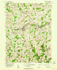
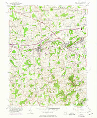
1953 Map of West Grove
USGS Topo · Published 1960About this map
The Pennsylvania railroad line cuts a direct path through southern Chester County, linking the active boroughs of West Grove and Avondale during the mid-century. This landscape is defined by the branching waters of Middle Branch White Clay Creek and East Branch White Clay Creek, which carve through the townships of London Grove and New London. The area maintains a strong civic and educational character, anchored by institutions like the New London Academy and the Avon Grove High Sch.
Find a feature on this map
49 named features on this map. Tap any name to fly to it.
Don’t see what you’re looking for? This feature index may not catch every label — zoom into the map to look around manually.
Map Details
Editions of this 1953 West Grove Map
5 editions found
Other maps of this area

1898 · Elkton
USGS Topo · 1:62,500

1900 · Elkton
USGS Topo · 1:62,500

1901 · West Chester
USGS Topo · 1:62,500

1904 · West Chester
USGS Topo · 1:62,500

1904 · Coatesville
USGS Topo · 1:62,500

1904 · Wilmington
USGS Topo · 1:62,500

1906 · Coatesville
USGS Topo · 1:62,500

1906 · Wilmington
USGS Topo · 1:62,500

1917 · Elkton
USGS Topo · 1:62,500

1918 · Coatesville
USGS Topo · 1:62,500
Featured Places
- New Garden Township, PA
- New London Township, PA
- Franklin Township, PA
- Toughkenamon, New Garden Township
- North Star, Delaware, DE