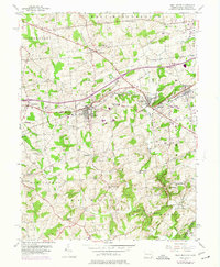
1953 Map of West Grove
USGS Topo · Published 1974About this map
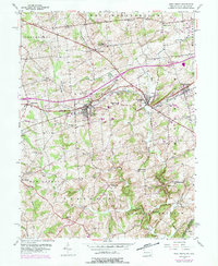
West Grove and Avondale anchor this section of Chester County, Pennsylvania, showing a landscape defined by small villages and an established agricultural-industrial network in the mid-20th century. The Penn Central railroad and Baltimore Pike serve as the primary east-west arteries, connecting the boroughs to outlying hamlets like Toughkenamon and Jennersville. The map illustrates a high density of rural institutions, including the New London Academy and several local schools like the Auburn Sch and Franklin Sch, which reflect the localized community structure of the era.
Find a feature on this map
52 named features on this map. Tap any name to fly to it.
Don’t see what you’re looking for? This feature index may not catch every label — zoom into the map to look around manually.
Map Details
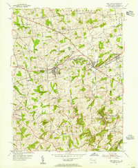
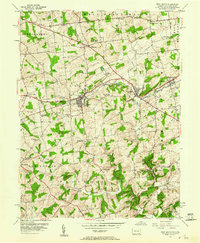
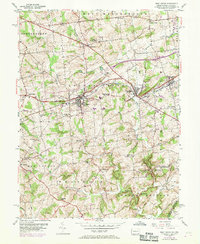
Editions of this 1953 West Grove Map
5 editions found
Other maps of this area

1898 · Elkton
USGS Topo · 1:62,500

1900 · Elkton
USGS Topo · 1:62,500

1901 · West Chester
USGS Topo · 1:62,500

1904 · West Chester
USGS Topo · 1:62,500

1904 · Coatesville
USGS Topo · 1:62,500

1904 · Wilmington
USGS Topo · 1:62,500

1906 · Coatesville
USGS Topo · 1:62,500

1906 · Wilmington
USGS Topo · 1:62,500

1917 · Elkton
USGS Topo · 1:62,500

1918 · Coatesville
USGS Topo · 1:62,500
Featured Places
- New Garden Township, PA
- New London Township, PA
- Franklin Township, PA
- Toughkenamon, New Garden Township
- North Star, Delaware, DE