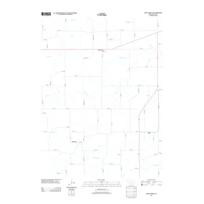
2013 Map of West Grove
USGS Topo · Published 2013About this map
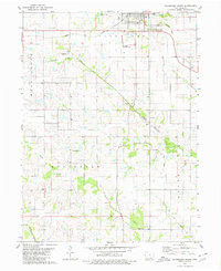
West Grove serves as the primary hub of this Davis County landscape, situated along a network of numbered rural roads and boulevards. The terrain is defined by its sophisticated drainage system, where the Fox River and S Fox Cr dominate the northern reaches, while the S Wyaconda River and N Fabius River carve through the central and southern sections. This pattern of diverging waterways indicates a diverse watershed area that influenced early settlement locations like Monterey and Mark. The presence of Old Hwy 63 S alongside contemporary routes like Garnet Ave and Fern Blvd shows the evolution of transit in this agricultural region, providing a clear view of how local travel evolved from historic highway alignments to the modern grid.
Find a feature on this map
55 named features on this map. Tap any name to fly to it.
Don’t see what you’re looking for? This feature index may not catch every label — zoom into the map to look around manually.
Map Details
Editions of this 2013 West Grove Map
This is the sole edition of this map. No revisions or reprints were ever made.
Other maps of this area

1954 · Centerville
USGS Topo · 1:250,000

1956 · Ottumwa South
USGS Topo · 1:62,500

1957 · Centerville
USGS Topo · 1:250,000

1958 · Centerville
USGS Topo · 1:250,000

1968 · Unionville
USGS Topo · 1:24,000
1968 · Paris
USGS Topo · 1:24,000
1979 · West Grove
USGS Topo · 1:24,000
1979 · Lancaster
USGS Topo · 1:24,000
1979 · Bloomfield South
USGS Topo · 1:24,000
1979 · Coatsville
USGS Topo · 1:24,000