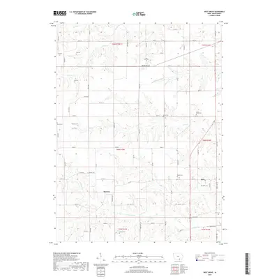
2018 Map of West Grove
USGS Topo · Published 2018About this map
The unincorporated community of West Grove serves as the focal point for this Davis County landscape, situated where the terrain begins to ripple with the drainage of the S Wuaconda River and Carter Cr. This area is characterized by a high density of small family and community burial grounds, which offer significant value for genealogical research in southern Iowa. Notable sites include Hetzler Cem and Evergreen Cem in the west, while Mount Moriah Cem and Bethel Cem are located to the east. The southern portion of the quadrangle transitions into the river bottoms of the N Fabius River near the small settlement of Monterey. The network of gravel roads and section lines reflects the enduring agricultural layout of the region, connecting remote homesteads to central points like the West Grove Cem.
Find a feature on this map
65 named features on this map. Tap any name to fly to it.
Don’t see what you’re looking for? This feature index may not catch every label — zoom into the map to look around manually.
Map Details
Editions of this 2018 West Grove Map
This is the sole edition of this map. No revisions or reprints were ever made.
Other maps of this area

1954 · Centerville
USGS Topo · 1:250,000

1956 · Ottumwa South
USGS Topo · 1:62,500

1957 · Centerville
USGS Topo · 1:250,000

1958 · Centerville
USGS Topo · 1:250,000

1968 · Unionville
USGS Topo · 1:24,000
1968 · Paris
USGS Topo · 1:24,000
1979 · West Grove
USGS Topo · 1:24,000
1979 · Lancaster
USGS Topo · 1:24,000
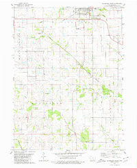
1979 · Bloomfield South
USGS Topo · 1:24,000
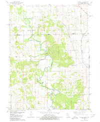
1979 · Coatsville
USGS Topo · 1:24,000