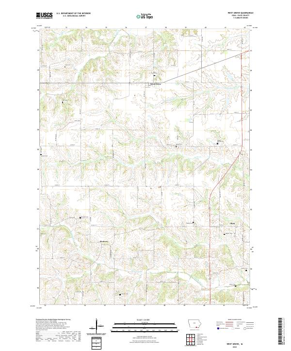
2022 Map of West Grove
USGS Topo · Published 2022About this map
West Grove serves as the primary settlement on this landscape, situated at the junction of several local roads and the headwaters of the S Wyaconda River. The terrain is defined by a dense network of waterways, including Fox River, Carter Cr, and the N Fabius River, which carve through the Iowa countryside. Genealogists will find a high concentration of small family and community burial grounds, such as John Cem, Bell Cem, Bethel Cem, and Mount Moriah Cem. The rural community of Monterey and the village of Mark anchor the southern portion of the sheet, reflecting a settlement pattern of small agricultural hubs connected by an extensive grid of numbered and named roads like Dewberry Ave and Ebony Ave.
Find a feature on this map
66 named features on this map. Tap any name to fly to it.
Don’t see what you’re looking for? This feature index may not catch every label — zoom into the map to look around manually.
Map Details
Editions of this 2022 West Grove Map
This is the sole edition of this map. No revisions or reprints were ever made.
Other maps of this area

1954 · Centerville
USGS Topo · 1:250,000

1956 · Ottumwa South
USGS Topo · 1:62,500

1957 · Centerville
USGS Topo · 1:250,000

1958 · Centerville
USGS Topo · 1:250,000

1968 · Unionville
USGS Topo · 1:24,000
1968 · Paris
USGS Topo · 1:24,000
1979 · West Grove
USGS Topo · 1:24,000
1979 · Lancaster
USGS Topo · 1:24,000
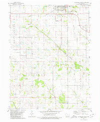
1979 · Bloomfield South
USGS Topo · 1:24,000
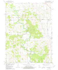
1979 · Coatsville
USGS Topo · 1:24,000