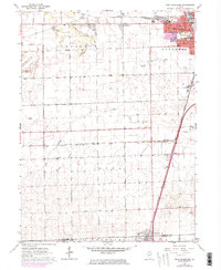
1964 Map of West Kankakee
USGS Topo · Published 1974About this map
West Kankakee stands as a residential extension west of the Kankakee River, where suburban expansion in the mid-1960s met a landscape of industrial extraction and agriculture. The northern section of the sheet is marked by heavy activity at several Sandpit sites and a large Quarry, while the central and southern reaches maintain a rural grid defined by Gar Creek and Minnie Creek. Settlement patterns are anchored by small villages like Irwin and Otto, along with the northern part of Chebanse on the county line. This era reflects a transition in transit, with the Old Railroad Grade and Penn Central lines navigating the terrain alongside the newer footprint of the Kankakee Airport. Local institutions, including West Jr High Sch and St James Cem, provide important landmarks for those tracing the development of Kankakee and its outlying rural townships.
Find a feature on this map
29 named features on this map. Tap any name to fly to it.
Don’t see what you’re looking for? This feature index may not catch every label — zoom into the map to look around manually.
Map Details
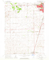
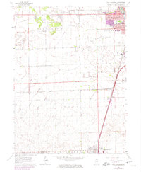
Editions of this 1964 West Kankakee Map
3 editions found
Other maps of this area

1922 · Kankakee
USGS Topo · 1:62,500

1923 · Herscher
USGS Topo · 1:62,500

1924 · Kankakee
USGS Topo · 1:62,500

1925 · Herscher
USGS Topo · 1:62,500

1944 · Piper City
USGS Topo · 1:48,000

1944 · Gilman
USGS Topo · 1:62,500

1946 · Gilman
USGS Topo · 1:62,500

1947 · Piper City
USGS Topo · 1:62,500

1953 · Chicago
USGS Topo · 1:250,000

1953 · Danville
USGS Topo · 1:250,000