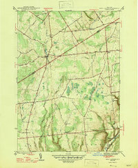
1947 Map of West Leyden
USGS Topo · Published 1947About this map
The East Branch Mohawk River winds through the heart of this landscape, marking a rural territory where the borders of Lewis and Oneida counties meet. At the center of this 1940s-era topography is the village of West Leyden, a hub of local activity situated along the river's path. The surrounding countryside is defined by a dense network of early rural schools, including Alger Sch, Pasadena Sch, and School No 6, which speak to the localized community structure of the time.
Find a feature on this map
43 named features on this map. Tap any name to fly to it.
Don’t see what you’re looking for? This feature index may not catch every label — zoom into the map to look around manually.
Map Details
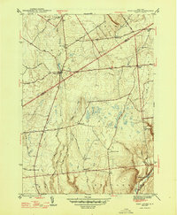
Editions of this 1947 West Leyden Map
2 editions found
Other maps of this area

1904 · Boonville
USGS Topo · 1:62,500

1905 · Port Leyden
USGS Topo · 1:62,500

1905 · Taberg
USGS Topo · 1:62,500

1906 · Highmarket
USGS Topo · 1:62,500

1907 · Port Leyden
USGS Topo · 1:62,500

1940 · Port Leyden
USGS Topo · 1:62,500

1943 · Lee Center
USGS Topo · 1:31,680

1943 · High Market
USGS Topo · 1:24,000

1944 · Point Rock
USGS Topo · 1:31,680
1944 · Highmarket
USGS Topo · 1:31,680