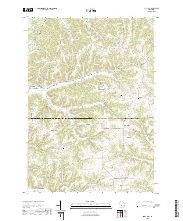
2022 Map of West Lima
USGS Topo · Published 2022About this map
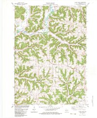
Maple Ridge and Newburn Ridge define the high ground of this Vernon County landscape, where the terrain breaks sharply into deep coulees and stream valleys. The village of West Lima sits near the eastern edge of the quadrangle, serving as a focal point for the surrounding rural roads that follow the winding contours of the Driftless Area. The western boundary is marked by the Kickapoo River, which carves through the topography near La Farge.
Find a feature on this map
83 named features on this map. Tap any name to fly to it.
Don’t see what you’re looking for? This feature index may not catch every label — zoom into the map to look around manually.
Map Details
Editions of this 2022 West Lima Map
This is the sole edition of this map. No revisions or reprints were ever made.
Historical Maps of Forest Through Time
18 maps found
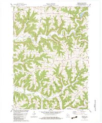
1983 Avalanche
Vernon County, WI
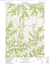
1983 Dell
Vernon County, WI
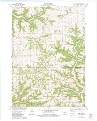
1983 Esofea
Vernon County, WI
1983 Newton
Vernon County, WI
1983 Retreat
Vernon County, WI
1983 Rising Sun
Vernon County, WI
1983 Sugar Grove
Vernon County, WI
1983 Trippville
Vernon County, WI
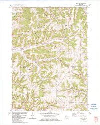
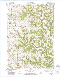
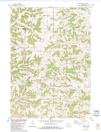
1983 West Lima
Vernon County, WI
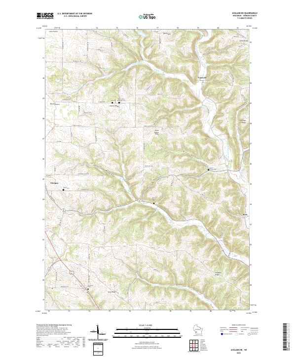
2022 Avalanche
Vernon County, WI
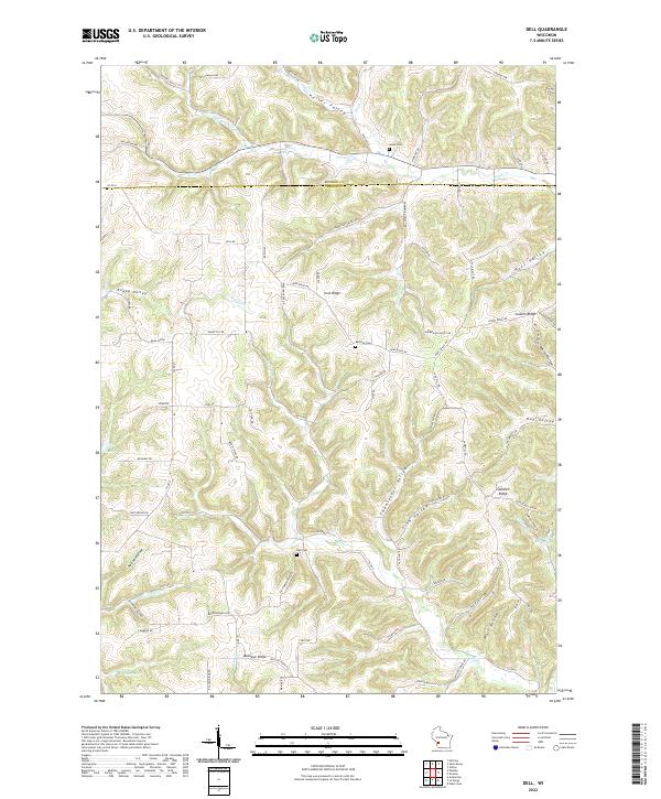
2022 Dell
Vernon County, WI
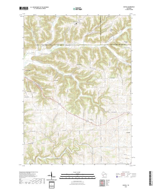
2022 Esofea
Vernon County, WI
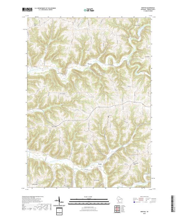
2022 Newton
Vernon County, WI
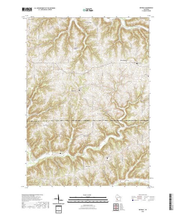
2022 Retreat
Vernon County, WI
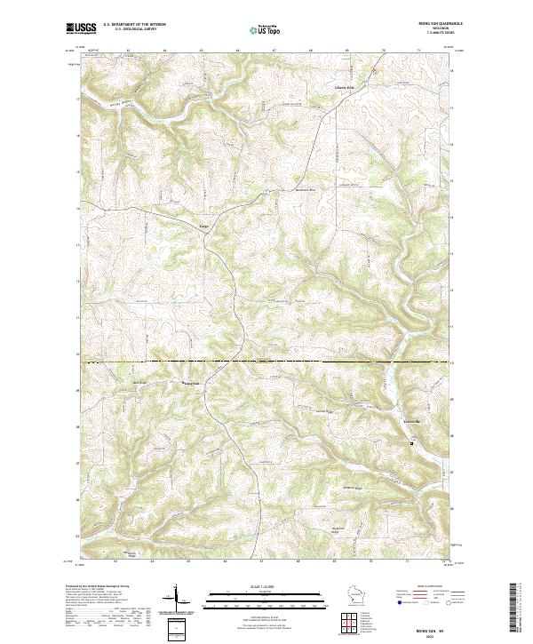
2022 Rising Sun
Vernon County, WI
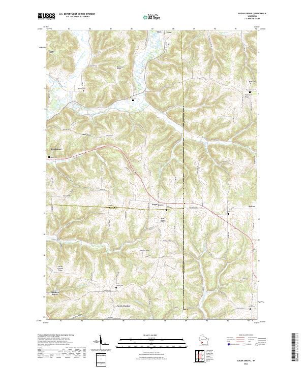
2022 Sugar Grove
Vernon County, WI
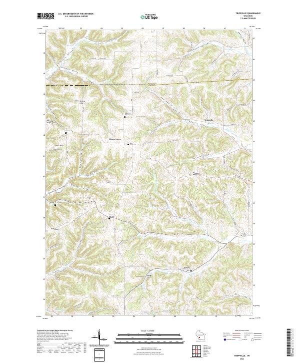
2022 Trippville
Vernon County, WI
2022 West Lima
Vernon County, WI