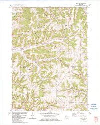
1983 Map of West Lima
USGS Topo · Published 1984About this map
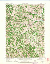
West Lima sits at the intersection of the Vernon Co Richland Co border, serving as a focal point in a landscape defined by high, narrow ridges and deep hollows. The settlement of Camp and the Townhall near the southern edge reflect the rural civic life of the early 1980s, while numerous quarries scattered across the hills point to the local extraction industry. The terrain is dominated by prominent landforms such as Maple Ridge and Summit Ridge, which are drained by a complex network of waterways including the Kickapoo and several branches of Bear Creek. Genealogists will find value in the distribution of family-named landmarks and local burial sites like Bear Creek Cem and Newburn Cem, which are tucked away along winding routes like Spangler Ridge Road and Basswood Road.
Find a feature on this map
44 named features on this map. Tap any name to fly to it.
Don’t see what you’re looking for? This feature index may not catch every label — zoom into the map to look around manually.
Map Details
Editions of this 1983 West Lima Map
This is the sole edition of this map. No revisions or reprints were ever made.
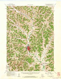
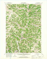
Other maps of this area

1905 · Richland Center
USGS Topo · 1:125,000

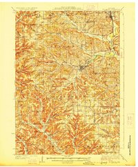
1926 · La Farge
USGS Topo · 1:62,500
1927 · Hillsboro
USGS Topo · 1:62,500

1933 · Boaz
USGS Topo · 1:62,500

1958 · La Crosse
USGS Topo · 1:250,000
1960 · Richland Center
USGS Topo · 1:62,500

1961 · La Crosse
USGS Topo · 1:250,000

1965 · La Crosse
USGS Topo · 1:250,000
1965 · La Farge
USGS Topo · 1:62,500
1966 · Hillsboro
USGS Topo · 1:62,500