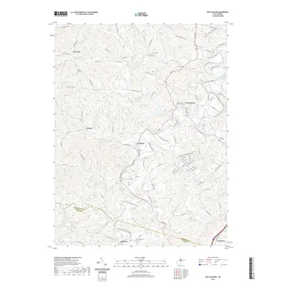
2019 Map of West Milford
USGS Topo · Published 2019About this map
West Fork River winds through the heart of this central West Virginia landscape, anchoring several established communities and family homesteads. The town of West Milford serves as a primary hub, while smaller settlements like Goodhope, Lightburn, and Jarvisville are linked by a complex network of county routes and rural roads. For those researching local lineage, the terrain is dotted with numerous burial grounds including Rose Hill Cem and Mausoleum, New Bethel Cem, and Duck Creek Cem. The geography is defined by deep drainages such as Sycamore Cr and Buffalo Cr, which flow through valleys like Bates Hollow. This 2019 survey documents a region where contemporary infrastructure, such as Buffalo Lake Rd, overlays a traditional Appalachian settlement pattern defined by the rugged topography of Harrison and Lewis counties.
Find a feature on this map
117 named features on this map. Tap any name to fly to it.
Don’t see what you’re looking for? This feature index may not catch every label — zoom into the map to look around manually.
Map Details
Editions of this 2019 West Milford Map
This is the sole edition of this map. No revisions or reprints were ever made.
Other maps of this area

1902 · Clarksburg
USGS Topo · 1:62,500

1904 · Weston
USGS Topo · 1:62,500

1904 · Vadis
USGS Topo · 1:62,500

1905 · Centerpoint
USGS Topo · 1:62,500

1910 · Clarksburg
USGS Topo · 1:62,500

1923 · Clarksburg
USGS Topo · 1:62,500

1924 · Centerpoint
USGS Topo · 1:62,500

1925 · Clarksburg
USGS Topo · 1:62,500

1925 · Centerpoint
USGS Topo · 1:62,500

1925 · Vadis
USGS Topo · 1:62,500