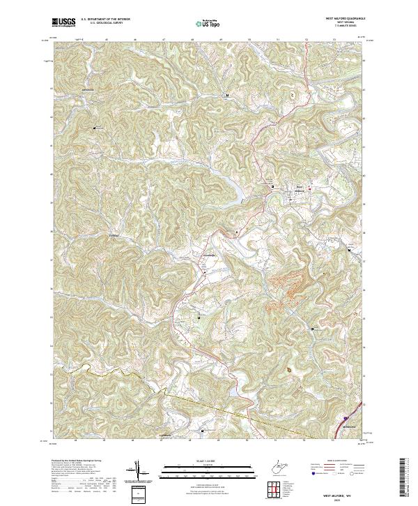
2023 Map of West Milford
USGS Topo · Published 2023About this map
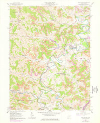
West Milford sits at the heart of this rural Harrison County landscape, where the West Fork River winds through a network of creeks and deep-cut hollows. The settlement pattern follows the drainage of Buffalo Creek, Isaacs Creek, and Hackers Creek, with family and community history preserved in numerous hilltop burial grounds such as Rose Hill Cem and Mausoleum and New Bethel Cem. Small rural clusters like Jarvisville and Goodhope remain connected by an intricate system of county routes and backroads.
Find a feature on this map
101 named features on this map. Tap any name to fly to it.
Don’t see what you’re looking for? This feature index may not catch every label — zoom into the map to look around manually.
Map Details
Editions of this 2023 West Milford Map
This is the sole edition of this map. No revisions or reprints were ever made.