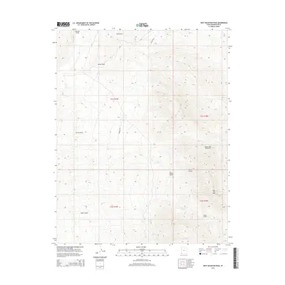
2014 Map of West Mountain Peak
USGS Topo · Published 2014About this map
West Mtn Peak anchors this southwestern corner of Washington County, where the high ridges of the Beaver Dam Mountains meet the northern reaches of the Mojave Desert. This arid environment is defined by its sparse but critical water sources, including Grapevine Spring, Sam Spring, and Couch Spring, which have historically served as vital points for livestock and wildlife. The landscape is deeply incised by drainages such as Indian Canyon, Horse Canyon, and Jackson Wash, illustrating the complex erosion patterns common to the transition between the Great Basin and Mojave provinces. To the northwest, the edge of the Mormon Range is visible, while Red Hollow cuts through the northern sections. Modern utility infrastructure is noted by the Powerline Row, which traverses the high desert terrain alongside Powerline Rd.
Find a feature on this map
19 named features on this map. Tap any name to fly to it.
Don’t see what you’re looking for? This feature index may not catch every label — zoom into the map to look around manually.
Map Details
Editions of this 2014 West Mountain Peak Map
This is the sole edition of this map. No revisions or reprints were ever made.
Other maps of this area

1885 · St. George
USGS Topo · 1:250,000

1885 · Pioche
USGS Topo · 1:250,000

1886 · Pioche
USGS Topo · 1:250,000

1891 · St. George
USGS Topo · 1:250,000

1953 · Cedar City
USGS Topo · 1:250,000

1954 · Caliente
USGS Topo · 1:250,000

1954 · Beaver Dam Mts NE
USGS Topo · 1:24,000

1954 · Gunlock
USGS Topo · 1:24,000

1954 · Beaver Dam Mts SE
USGS Topo · 1:24,000

1958 · Cedar City
USGS Topo · 1:250,000