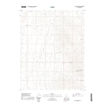
2020 Map of West Mountain Peak
USGS Topo · Published 2020About this map
West Mtn Peak anchors this southwestern Utah landscape, where the high-altitude terrain of the Beaver Dam Mountains meets the northern reaches of the Mojave Desert. This 2020 survey records a high-desert environment defined by its water sources and rugged drainages, most notably the deep corridor of Horse Canyon and the winding course of Jackson Wash. A series of isolated water points, including Badger Spring, Crazy Spring, and Grapevine Spring, indicate the vital locations where moisture reaches the surface in an otherwise arid region.
Find a feature on this map
15 named features on this map. Tap any name to fly to it.
Don’t see what you’re looking for? This feature index may not catch every label — zoom into the map to look around manually.
Map Details
Editions of this 2020 West Mountain Peak Map
This is the sole edition of this map. No revisions or reprints were ever made.
Other maps of this area

1885 · St. George
USGS Topo · 1:250,000

1885 · Pioche
USGS Topo · 1:250,000

1886 · Pioche
USGS Topo · 1:250,000

1891 · St. George
USGS Topo · 1:250,000

1953 · Cedar City
USGS Topo · 1:250,000

1954 · Caliente
USGS Topo · 1:250,000

1954 · Beaver Dam Mts NE
USGS Topo · 1:24,000

1954 · Gunlock
USGS Topo · 1:24,000

1954 · Beaver Dam Mts SE
USGS Topo · 1:24,000

1958 · Cedar City
USGS Topo · 1:250,000