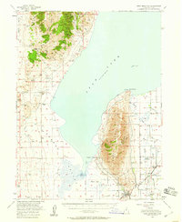
1950 Map of West Mountain
USGS Topo · Published 1959About this map
Utah Lake dominates the center of this landscape, its waters reaching the shores of Lincoln Point and surrounding the isolated Bird Island. To the west, the arid expanse of Cedar Valley and the Goshen Valley is punctuated by the remains of Mosida (Site), an early 20th-century irrigation settlement attempt. The eastern portion of the map showcases the industrial and agricultural heart of the region, where the Union Pacific and Denver and Rio Grande Western railroads intersect near Payson Sta. Industrial activity is evident at the Keigley Quarry and various shafts and prospects tucked into the slopes of West Mountain. A complex network of water management, including the Tanner Reservoir and various canals, reflects the intensive efforts to reclaim the valley floor for farming near Genola and Beer Creek.
Find a feature on this map
77 named features on this map. Tap any name to fly to it.
Don’t see what you’re looking for? This feature index may not catch every label — zoom into the map to look around manually.
Map Details
Editions of this 1950 West Mountain Map
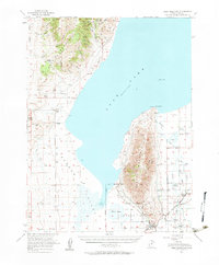
2 editions found
Other maps of this area

1885 · Salt Lake
USGS Topo · 1:250,000

1885 · Manti
USGS Topo · 1:250,000

1885 · Sevier Desert
USGS Topo · 1:250,000

1885 · Tooele Valley
USGS Topo · 1:250,000

1895 · Manti
USGS Topo · 1:250,000

1915 · Fairfield
USGS Topo · 1:62,500

1917 · Fairfield
USGS Topo · 1:62,500

1947 · Fivemile Pass
USGS Topo · 1:62,500

1947 · Allens Ranch
USGS Topo · 1:24,000

1947 · Goshen Pass
USGS Topo · 1:24,000