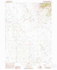
1990 Map of West of Beck Pass
USGS Topo · Published 1990About this map
Elko-Hamilton Stage Route Lines cut a historical path through the basin of Newark Valley, documenting a transportation corridor that once linked the mining camps of eastern Nevada. The landscape is dominated by the vast, arid expanse of Newark Alkali Lake to the north and the rising elevations of the Ruby Mountains in the northeast. This 1990 provisional survey records the stark geography of White Pine County, where water remains the most critical resource for any traveler or rancher. Notable points such as Barrel Spring mark the rare locations where water reaches the surface in an otherwise dry environment of alluvial fans and sagebrush flats. The map provides a clear picture of the historical stage route's positioning relative to the desert floor and the surrounding mountain ranges.
Find a feature on this map
8 named features on this map. Tap any name to fly to it.
Don’t see what you’re looking for? This feature index may not catch every label — zoom into the map to look around manually.
Map Details
Editions of this 1990 West of Beck Pass Map
This is the sole edition of this map. No revisions or reprints were ever made.
Other maps of this area

1951 · Pancake Summit
USGS Topo · 1:62,500

1953 · Pinto Summit
USGS Topo · 1:62,500

1953 · Eureka
USGS Topo · 1:62,500

1956 · Ely
USGS Topo · 1:250,000

1957 · Buck Mountain
USGS Topo · 1:62,500

1959 · Ely
USGS Topo · 1:250,000

1963 · Ely
USGS Topo · 1:250,000

1979 · Mt. Hamilton
USGS Topo · 1:100,000

1985 · Newark Lake
USGS Topo · 1:100,000
1990 · Buck Mountain East
USGS Topo · 1:24,000