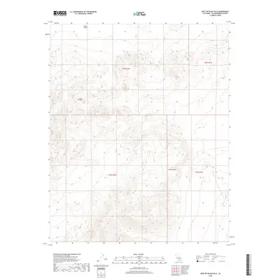
2018 Map of West of Black Hills
USGS Topo · Published 2018About this map
Lava Mountains dominate this high-desert landscape in the northwestern portion of the Mojave Desert. The terrain transitions from the rugged volcanic uplands of the range into the expansive flats of Searles Valley to the north. This 2018 survey provides a clear view of the complex land management boundaries across Township 28 and 29 South, including ranges 42 and 43 East. The absence of modern roads or settlements on this specific sheet emphasizes the preservation of the open desert character within San Bernardino County, where topographical contours reveal the drainage patterns and ancient geological formations that define this arid interior.
Find a feature on this map
7 named features on this map. Tap any name to fly to it.
Don’t see what you’re looking for? This feature index may not catch every label — zoom into the map to look around manually.
Map Details
Editions of this 2018 West of Black Hills Map
This is the sole edition of this map. No revisions or reprints were ever made.
Other maps of this area

1903 · Randsburg
USGS Topo · 1:62,500

1911 · Randsburg
USGS Topo · 1:62,500

1912 · Randsburg
USGS Topo · 1:62,500

1915 · Searles Lake
USGS Topo · 1:250,000

1947 · Trona
USGS Topo · 1:250,000

1948 · Trona
USGS Topo · 1:250,000

1949 · Searles Lake
USGS Topo · 1:62,500

1950 · Searles Lake
USGS Topo · 1:62,500

1953 · Ridgecrest
USGS Topo · 1:62,500

1953 · Trona
USGS Topo · 1:250,000