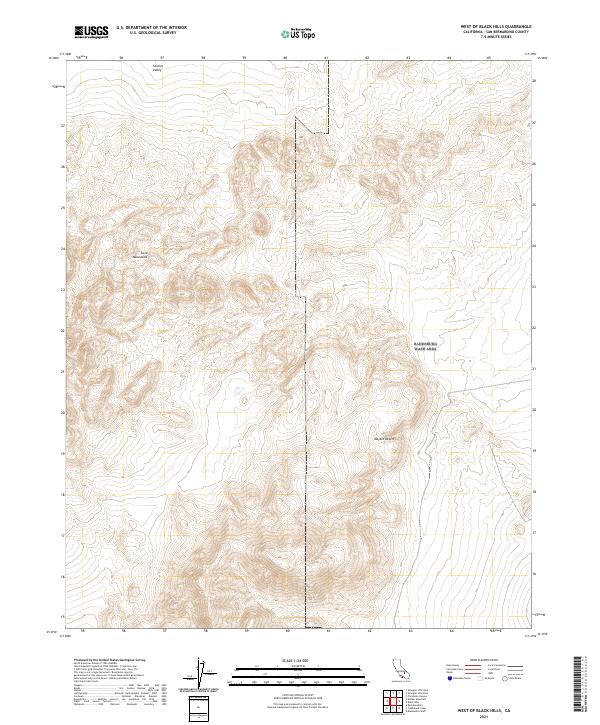
2021 Map of West of Black Hills
USGS Topo · Published 2021About this map
Lava Mountains dominate the western portion of this 2021 survey, providing a detailed look at the complex topography where the peaks meet the high desert floor. This landscape is defined by the transition between the Searles Valley to the north and the broader expanse of the Mojave Desert that stretches across the southeastern section of the quadrangle. The map highlights the intricate drainage patterns and elevation changes across the Public Land Survey System grids, specifically within t28s r42e and t29s r42e. Geologists and researchers can study the landforms of these volcanic heights as they descend into the arid basins, offering a clear view of the natural boundaries that shape this part of San Bernardino County.
Find a feature on this map
7 named features on this map. Tap any name to fly to it.
Don’t see what you’re looking for? This feature index may not catch every label — zoom into the map to look around manually.
Map Details
Editions of this 2021 West of Black Hills Map
This is the sole edition of this map. No revisions or reprints were ever made.
Other maps of this area

1903 · Randsburg
USGS Topo · 1:62,500

1911 · Randsburg
USGS Topo · 1:62,500

1912 · Randsburg
USGS Topo · 1:62,500

1915 · Searles Lake
USGS Topo · 1:250,000

1947 · Trona
USGS Topo · 1:250,000

1948 · Trona
USGS Topo · 1:250,000

1949 · Searles Lake
USGS Topo · 1:62,500

1950 · Searles Lake
USGS Topo · 1:62,500

1953 · Ridgecrest
USGS Topo · 1:62,500

1953 · Trona
USGS Topo · 1:250,000