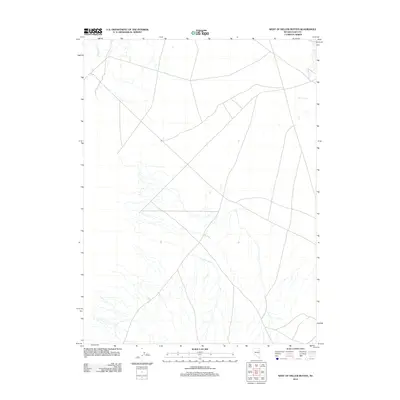
2012 Map of West of Delcer Buttes
USGS Topo · Published 2012About this map
Franklin River meanders through this arid landscape in Elko County, serving as the primary hydrological feature of the region. The map highlights a network of unimproved roads and tracks that crisscross the high desert, illustrating the remote nature of the terrain in northeastern Nevada. This topographic survey captures the delicate drainage patterns and subtle elevation shifts characteristic of the Great Basin, where seasonal waterways define the movement across the open range. Without significant named settlements or structures, the cartography emphasizes the natural geography and the sparse infrastructure used for land management and exploration.
Find a feature on this map
1 named feature on this map. Tap any name to fly to it.
Don’t see what you’re looking for? This feature index may not catch every label — zoom into the map to look around manually.
Map Details
Editions of this 2012 West of Delcer Buttes Map
This is the sole edition of this map. No revisions or reprints were ever made.
Other maps of this area

1935 · Halleck
USGS Topo · 1:125,000

1955 · Elko
USGS Topo · 1:250,000

1958 · Elko
USGS Topo · 1:250,000

1962 · Elko
USGS Topo · 1:250,000

1962 · Lamoille
USGS Topo · 1:62,500

1965 · Elko
USGS Topo · 1:250,000

1968 · Franklin Lake SE
USGS Topo · 1:24,000

1968 · Franklin Lake NE
USGS Topo · 1:24,000

1984 · West of Delcer Buttes
USGS Topo · 1:24,000

1984 · Valley Mtn
USGS Topo · 1:24,000