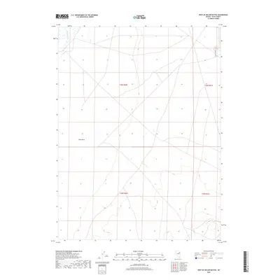
2018 Map of West of Delcer Buttes
USGS Topo · Published 2018About this map
Ruby Valley occupies the western portion of this basin landscape, where the seasonal flow of the Franklin River traces the low-lying terrain. This high-desert environment in Elko County is marked by a sparse network of water sources, including the specifically identified Murphy's Well located on the eastern edge of the quadrangle. The map reflects the vast public land management systems of the American West, dominated by the rectangular survey grid of the Public Land Survey System. The presence of isolated wells and named river segments highlights the critical importance of water rights and access in this arid region of Nevada, providing a clear record of the area's geographic layout before any significant modern development.
Find a feature on this map
7 named features on this map. Tap any name to fly to it.
Don’t see what you’re looking for? This feature index may not catch every label — zoom into the map to look around manually.
Map Details
Editions of this 2018 West of Delcer Buttes Map
This is the sole edition of this map. No revisions or reprints were ever made.
Other maps of this area

1935 · Halleck
USGS Topo · 1:125,000

1955 · Elko
USGS Topo · 1:250,000

1958 · Elko
USGS Topo · 1:250,000

1962 · Elko
USGS Topo · 1:250,000

1962 · Lamoille
USGS Topo · 1:62,500

1965 · Elko
USGS Topo · 1:250,000

1968 · Franklin Lake SE
USGS Topo · 1:24,000

1968 · Franklin Lake NE
USGS Topo · 1:24,000

1984 · West of Delcer Buttes
USGS Topo · 1:24,000

1984 · Valley Mtn
USGS Topo · 1:24,000