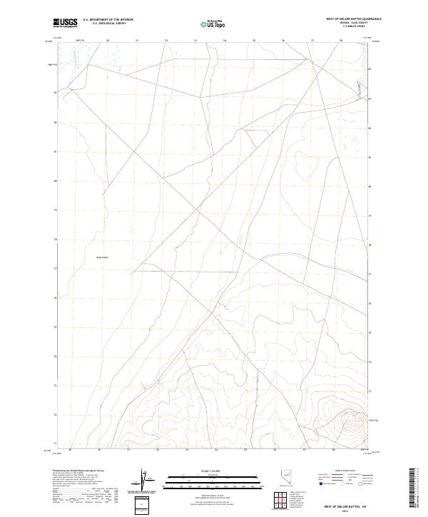
2021 Map of West of Delcer Buttes
USGS Topo · Published 2021About this map
Ruby Valley dominates this high-desert landscape in Elko County, where the sparse terrain reflects the typical drainage patterns of the Great Basin. In the northwestern corner of the quadrangle, the Franklin River cuts through the valley floor, while Murphys Well provides a localized water source to the northeast. The map is defined by a grid of primitive roads and section lines, specifically within t30n r60e, t30n r61e, t29n r60e, and t29n r61e. This 2021 survey highlights a region where physical geography and township boundaries take precedence over human settlement, as is common in the expansive valley regions of northeastern Nevada.
Find a feature on this map
7 named features on this map. Tap any name to fly to it.
Don’t see what you’re looking for? This feature index may not catch every label — zoom into the map to look around manually.
Map Details
Editions of this 2021 West of Delcer Buttes Map
This is the sole edition of this map. No revisions or reprints were ever made.
Other maps of this area

1935 · Halleck
USGS Topo · 1:125,000

1955 · Elko
USGS Topo · 1:250,000

1958 · Elko
USGS Topo · 1:250,000

1962 · Elko
USGS Topo · 1:250,000

1962 · Lamoille
USGS Topo · 1:62,500

1965 · Elko
USGS Topo · 1:250,000

1968 · Franklin Lake SE
USGS Topo · 1:24,000

1968 · Franklin Lake NE
USGS Topo · 1:24,000

1984 · West of Delcer Buttes
USGS Topo · 1:24,000

1984 · Valley Mtn
USGS Topo · 1:24,000