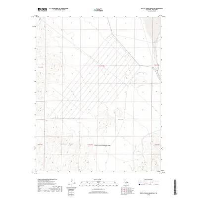
2018 Map of West of Eagle Mountain
USGS Topo · Published 2018About this map
Death Valley National Park encompasses the southern portion of this high-desert survey, where the peaks of the Greenwater Range define the local topography. This arid landscape in the Mojave Desert is characterized by extreme elevation changes and vast alluvial fans. The eastern edge of the map is marked by the course of the Amargosa River, a largely subterranean waterway that only surfaces during rare precipitation events. To the north, Potero Rd provides one of the few managed access points into this remote terrain. The map captures the meticulous Public Land Survey System grid, including boundaries for t24n r5e and t23n r5e, illustrating how late 20th and early 21st-century conservation boundaries overlay the traditional township and range divisions of eastern Inyo County.
Find a feature on this map
11 named features on this map. Tap any name to fly to it.
Don’t see what you’re looking for? This feature index may not catch every label — zoom into the map to look around manually.
Map Details
Editions of this 2018 West of Eagle Mountain Map
This is the sole edition of this map. No revisions or reprints were ever made.
Other maps of this area

1908 · Furnace Creek
USGS Topo · 1:250,000

1910 · Furnace Creek
USGS Topo · 1:250,000

1940 · Eagle Tank
USGS Topo · 1:62,500

1948 · Death Valley
USGS Topo · 1:250,000

1951 · Funeral Peak
USGS Topo · 1:62,500

1951 · Eagle Mtn
USGS Topo · 1:62,500

1952 · Ash Meadows
USGS Topo · 1:62,500

1952 · Ryan
USGS Topo · 1:62,500

1954 · Death Valley
USGS Topo · 1:250,000

1956 · Death Valley
USGS Topo · 1:250,000