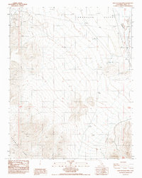
1988 Map of West of Eagle Mtn
USGS Topo · Published 1988About this map
The Greenwater Range dominates the southern portion of this landscape, rising above the arid expanse of the Amargosa Desert to the north. This 1988 provisional survey documents a region defined by historical mining and early transportation networks, most notably the Lila C Mine (Site) and various prospects scattered across the desert floor. The presence of an Old RR Grade cutting through the northern section suggests the path of former industrial infrastructure that once connected these remote sites to broader markets.
Find a feature on this map
10 named features on this map. Tap any name to fly to it.
Don’t see what you’re looking for? This feature index may not catch every label — zoom into the map to look around manually.
Map Details
Editions of this 1988 West of Eagle Mtn Map
This is the sole edition of this map. No revisions or reprints were ever made.
Other maps of this area

1908 · Furnace Creek
USGS Topo · 1:250,000

1910 · Furnace Creek
USGS Topo · 1:250,000

1940 · Eagle Tank
USGS Topo · 1:62,500

1948 · Death Valley
USGS Topo · 1:250,000

1951 · Funeral Peak
USGS Topo · 1:62,500

1951 · Eagle Mtn
USGS Topo · 1:62,500

1952 · Ash Meadows
USGS Topo · 1:62,500

1952 · Ryan
USGS Topo · 1:62,500

1954 · Death Valley
USGS Topo · 1:250,000

1956 · Death Valley
USGS Topo · 1:250,000