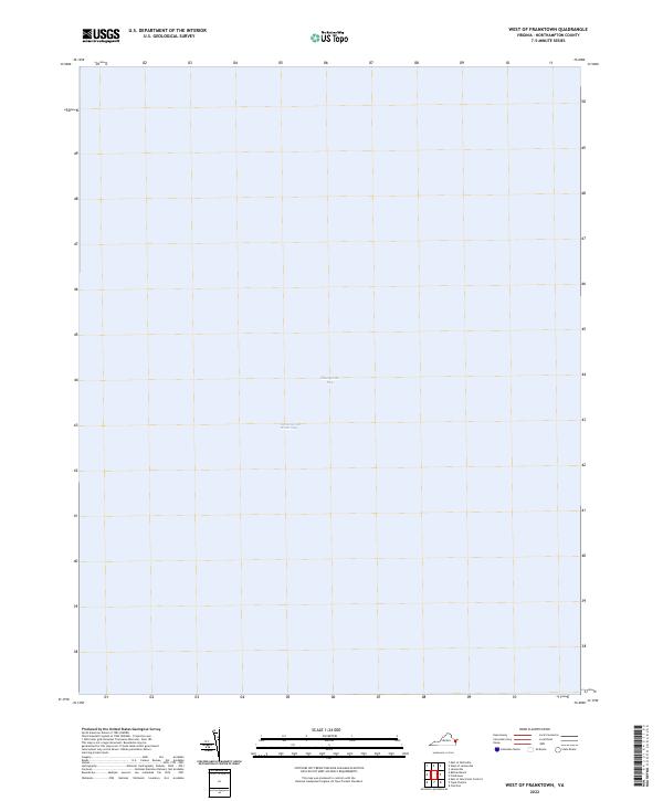
2022 Map of West of Franktown
USGS Topo · Published 2022About this map
Chesapeake Bay dominates this maritime survey west of Franktown, offering a clear view of the open water and navigational routes within the Virginia coastal system in 2022. The map highlights the modern path of the Intracoastal Waterway, a critical corridor for marine traffic along the Eastern Shore. Because this particular quadrant covers a section of the bay where elevation data did not meet accuracy standards for contouring, the focus remains strictly on the hydrography and the expansive reach of the water. It is a precise record of the bay's navigable surface and the spatial relationship between these major waterways as they existed in the early 2020s.
Find a feature on this map
2 named features on this map. Tap any name to fly to it.
Don’t see what you’re looking for? This feature index may not catch every label — zoom into the map to look around manually.
Map Details
Editions of this 2022 West of Franktown Map
This is the sole edition of this map. No revisions or reprints were ever made.
Other maps of this area

1942 · Cheriton
USGS Topo · 1:24,000

1943 · Jamesville
USGS Topo · 1:31,680

1943 · Franktown
USGS Topo · 1:31,680

1943 · Richmond
USGS Topo · 1:250,000

1946 · Eastville
USGS Topo · 1:250,000

1948 · Cape Charles
USGS Topo · 1:24,000

1949 · Richmond
USGS Topo · 1:250,000
1955 · Cape Charles
USGS Topo · 1:24,000
1955 · Cheriton
USGS Topo · 1:24,000

1959 · Richmond
USGS Topo · 1:250,000