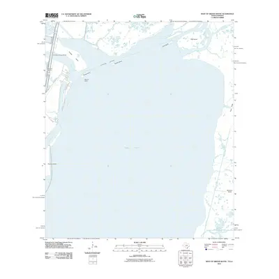
2010 Map of West of Greens Bayou
USGS Topo · Published 2010About this map
Sabine Lake dominates this coastal landscape at the Texas and Louisiana border, serving as the central basin for the Neches River and the Sabine River. The complex network of marshland and maritime infrastructure is highlighted by the Intracoastal Waterway and the Sabine Neches Canal, which facilitate heavy vessel traffic through the region. Landforms such as Humble Island, Sydnes Island, and Dooms Island break the water's surface, illustrating the shifting silt and dredge patterns typical of this estuary system.
Find a feature on this map
31 named features on this map. Tap any name to fly to it.
Don’t see what you’re looking for? This feature index may not catch every label — zoom into the map to look around manually.
Map Details
Editions of this 2010 West of Greens Bayou Map
This is the sole edition of this map. No revisions or reprints were ever made.
Other maps of this area

1926 · Terry
USGS Topo · 1:24,000

1932 · Orange
USGS Topo · 1:62,500

1932 · Port Arthur NE
USGS Topo · 1:31,680

1934 · Johnsons Bayou
USGS Topo · 1:24,000

1934 · Greens Bayou
USGS Topo · 1:24,000

1935 · Greens Bayou
USGS Topo · 1:31,680

1935 · Johnsons Bayou
USGS Topo · 1:31,680

1943 · West of Johnson Bayou
USGS Topo · 1:24,000

1943 · West of Greens Bayou
USGS Topo · 1:24,000

1943 · Orangefield
USGS Topo · 1:24,000