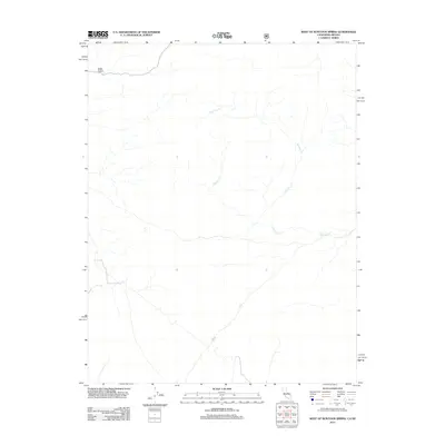
2012 Map of West of Huntoon Spring
USGS Topo · Published 2012About this map
Huntoon Cr winds through this arid drainage system in the high desert region of Mono County, marking the primary topographical focus of this 2012 survey. The terrain is characterized by the complex incision of Deep Canyon, which defines the northwest portion of the quadrangle. This map reflects a quiet, undeveloped landscape at the start of the twenty-first century, where the primary features are the natural results of ancient water movement through a dry basin. The presence of limited forest service roads suggests the area's use for resource management or seasonal access, while the vast majority of the land remains defined by its natural contours and the seasonal flow of its creek systems.
Find a feature on this map
2 named features on this map. Tap any name to fly to it.
Don’t see what you’re looking for? This feature index may not catch every label — zoom into the map to look around manually.
Map Details
Editions of this 2012 West of Huntoon Spring Map
This is the sole edition of this map. No revisions or reprints were ever made.
Other maps of this area

1909 · Hawthorne
USGS Topo · 1:250,000

1911 · Hawthorne
USGS Topo · 1:250,000

1914 · Mt. Morrison
USGS Topo · 1:125,000

1915 · Hawthorne
USGS Topo · 1:250,000

1947 · Mariposa
USGS Topo · 1:250,000

1948 · Walker Lake
USGS Topo · 1:250,000

1948 · Mariposa
USGS Topo · 1:250,000

1957 · Walker Lake
USGS Topo · 1:250,000

1957 · Mariposa
USGS Topo · 1:250,000

1958 · Trench Canyon
USGS Topo · 1:62,500