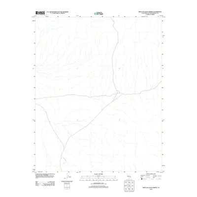
2012 Map of West of Leach Spring
USGS Topo · Published 2012About this map
Myrick Spring serves as a vital water source in this arid region of San Bernardino County, situated amidst a landscape of drainage patterns and topographical relief. This 2012 survey by the U.S. Geological Survey illustrates the isolated terrain west of the Leach Spring area, where the environment is defined by seasonal washes and natural springs rather than dense human settlement. The absence of developed towns emphasizes the geographic character of this portion of the California desert, making it a significant record for those studying water rights, historical hydrology, or the placement of early desert landmarks. The intricate network of dry beds leading toward the spring suggests a hydrology shaped by infrequent but significant weather events, providing a clear map of natural corridors in a region where few permanent roads or structures are established.
Find a feature on this map
1 named feature on this map. Tap any name to fly to it.
Don’t see what you’re looking for? This feature index may not catch every label — zoom into the map to look around manually.
Map Details
Editions of this 2012 West of Leach Spring Map
This is the sole edition of this map. No revisions or reprints were ever made.
Other maps of this area

1915 · Searles Lake
USGS Topo · 1:250,000

1933 · Avawatz Mountains
USGS Topo · 1:250,000

1947 · Trona
USGS Topo · 1:250,000

1948 · Trona
USGS Topo · 1:250,000

1948 · Quail Mountains
USGS Topo · 1:62,500

1948 · Goldstone Lake
USGS Topo · 1:62,500

1950 · Wingate Pass
USGS Topo · 1:62,500

1951 · Goldstone Lake
USGS Topo · 1:62,500

1951 · Wingate Pass
USGS Topo · 1:62,500

1951 · Quail Mountains
USGS Topo · 1:62,500