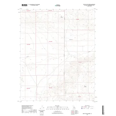
2018 Map of West of Leach Spring
USGS Topo · Published 2018About this map
The Quail Mountains and Granite Mountains define this arid landscape within the Mojave Desert of San Bernardino County. A landscape defined by elevation extremes and scarce water, the area is centered on the remote stretch of Randsburg Rd as it cuts through the high desert. The map captures a critical water source for the region at Myrick Spring, a vital landmark for desert travel and survival. This 2018 survey detail provides an exact look at the Public Land Survey System (PLSS) grid, showing the township and range boundaries including t27s r47e and t17n r1e, which are essential for property research and land use history in this undeveloped reach of California.
Find a feature on this map
14 named features on this map. Tap any name to fly to it.
Don’t see what you’re looking for? This feature index may not catch every label — zoom into the map to look around manually.
Map Details
Editions of this 2018 West of Leach Spring Map
This is the sole edition of this map. No revisions or reprints were ever made.
Other maps of this area

1915 · Searles Lake
USGS Topo · 1:250,000

1933 · Avawatz Mountains
USGS Topo · 1:250,000

1947 · Trona
USGS Topo · 1:250,000

1948 · Trona
USGS Topo · 1:250,000

1948 · Quail Mountains
USGS Topo · 1:62,500

1948 · Goldstone Lake
USGS Topo · 1:62,500

1950 · Wingate Pass
USGS Topo · 1:62,500

1951 · Goldstone Lake
USGS Topo · 1:62,500

1951 · Wingate Pass
USGS Topo · 1:62,500

1951 · Quail Mountains
USGS Topo · 1:62,500