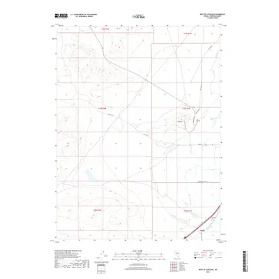
2018 Map of West of Lovelock
USGS Topo · Published 2018About this map
Perth serves as a small rail and transit point in Pershing County, situated in a valley defined by complex water management and the prominent silhouette of Lone Mtn. The landscape is a network of irrigation and drainage infrastructure, including the Taylor Canal, Toulon Drain, and Lovelock Drain, which support the agricultural tracts along Big Meadow Ranch Rd. Historical transit routes are evident in the path of the Old Toll Rd, while local genealogy is grounded in sites like Lone Mountain Cem and Big Meadow Cem. The terrain transitions from the dry ridges of the Trinity Range toward the lower wetlands of Willow Slough and Big Slough, illustrating the intersection of Nevada's high-desert geography with human engineering designed to reclaim the arid soil for ranching.
Find a feature on this map
25 named features on this map. Tap any name to fly to it.
Don’t see what you’re looking for? This feature index may not catch every label — zoom into the map to look around manually.
Map Details
Editions of this 2018 West of Lovelock Map
This is the sole edition of this map. No revisions or reprints were ever made.
Other maps of this area

1931 · Lovelock
USGS Topo · 1:250,000

1935 · Lovelock
USGS Topo · 1:250,000

1955 · Lovelock
USGS Topo · 1:250,000

1956 · Oreana
USGS Topo · 1:62,500

1956 · Toulon
USGS Topo · 1:62,500

1956 · Lovelock
USGS Topo · 1:62,500

1959 · Lovelock
USGS Topo · 1:250,000

1981 · Trinity Pass
USGS Topo · 1:24,000

1981 · Poker Brown Spring
USGS Topo · 1:24,000

1984 · Lovelock
USGS Topo · 1:100,000