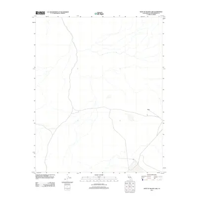
2012 Map of West of Nelson Lake
USGS Topo · Published 2012About this map
Mars sits at a junction of desert paths in this remote section of San Bernardino County. The landscape is characterized by its isolation, with primary access provided by a network of secondary roads and 4WD tracks that traverse the arid terrain. As part of a 2012 survey, the map shows a quiet corner of the Mojave Desert defined by dry washes and sparse infrastructure. The settlement of Mars serves as the central point of reference in an area otherwise dominated by the natural drainage patterns and the steady rise and fall of the desert floor, offering a clear record of the region's limited human footprint at the start of the decade.
Find a feature on this map
1 named feature on this map. Tap any name to fly to it.
Don’t see what you’re looking for? This feature index may not catch every label — zoom into the map to look around manually.
Map Details
Editions of this 2012 West of Nelson Lake Map
This is the sole edition of this map. No revisions or reprints were ever made.
Other maps of this area

1915 · Searles Lake
USGS Topo · 1:250,000

1933 · Avawatz Mountains
USGS Topo · 1:250,000

1947 · Trona
USGS Topo · 1:250,000

1948 · Trona
USGS Topo · 1:250,000

1948 · Quail Mountains
USGS Topo · 1:62,500

1948 · Goldstone Lake
USGS Topo · 1:62,500

1950 · Wingate Pass
USGS Topo · 1:62,500

1951 · Goldstone Lake
USGS Topo · 1:62,500

1951 · Wingate Pass
USGS Topo · 1:62,500

1951 · Quail Mountains
USGS Topo · 1:62,500