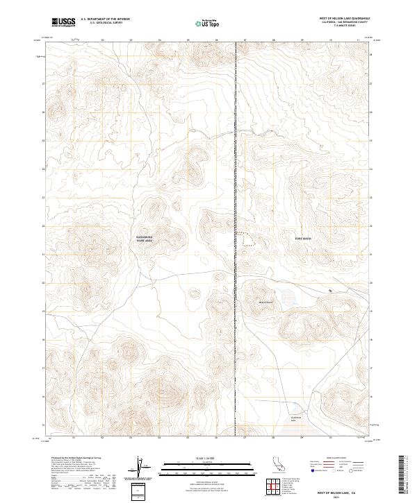
2021 Map of West of Nelson Lake
USGS Topo · Published 2021About this map
Mojave Desert terrain dominates this 2021 survey, revealing a landscape defined by ephemeral hydrography and complex surveying boundaries. The most prominent natural feature is Goldstone Lake, an alkaline dry lake bed situated in the southeastern corner of the quadrangle. This area of San Bernardino County is marked by several township and range boundaries, including t15n r1e and t29s r47e, which delineate the public land grid across the arid basins and surrounding uplands. The absence of modern infrastructure or named settlements reflects the region's character as a specialized military or research buffer zone, where the landscape remains largely shaped by natural drainage patterns rather than human development.
Find a feature on this map
6 named features on this map. Tap any name to fly to it.
Don’t see what you’re looking for? This feature index may not catch every label — zoom into the map to look around manually.
Map Details
Editions of this 2021 West of Nelson Lake Map
This is the sole edition of this map. No revisions or reprints were ever made.
Other maps of this area

1915 · Searles Lake
USGS Topo · 1:250,000

1933 · Avawatz Mountains
USGS Topo · 1:250,000

1947 · Trona
USGS Topo · 1:250,000

1948 · Trona
USGS Topo · 1:250,000

1948 · Quail Mountains
USGS Topo · 1:62,500

1948 · Goldstone Lake
USGS Topo · 1:62,500

1950 · Wingate Pass
USGS Topo · 1:62,500

1951 · Goldstone Lake
USGS Topo · 1:62,500

1951 · Wingate Pass
USGS Topo · 1:62,500

1951 · Quail Mountains
USGS Topo · 1:62,500