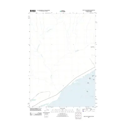
2011 Map of West of Paterson
USGS Topo · Published 2011About this map
The Columbia River dominates the southern reaches of this landscape, carving a wide path through the borderlands of Washington and Oregon. This 2011 survey reveals an environment shaped by both natural hydrology and agricultural industry, where the river splits into the North Channel and South Channel around the Blalock Islands. Further downstream, smaller landforms like Telegraph Island and Rock Island break the water's surface. North of the river, the landscape transitions into upland areas defined by the seasonal drainage of Glade Creek and its East Branch. The presence of the Columbia Crest Winery Airport and the Sandpiper Farms Leveling Pond underscores the significance of large-scale viticulture and irrigation in this arid region. This era of development is further marked by the small settlement of Sage and a network of private roads like Sandpiper Farm Rd that connect these agricultural interests.
Find a feature on this map
17 named features on this map. Tap any name to fly to it.
Don’t see what you’re looking for? This feature index may not catch every label — zoom into the map to look around manually.
Map Details
Editions of this 2011 West of Paterson Map
This is the sole edition of this map. No revisions or reprints were ever made.
Other maps of this area

1906 · Blalock Island
USGS Topo · 1:125,000

1908 · Blalock Island
USGS Topo · 1:125,000

1915 · Prosser
USGS Topo · 1:125,000

1917 · Prosser
USGS Topo · 1:125,000

1953 · Pendleton
USGS Topo · 1:250,000

1953 · Walla Walla
USGS Topo · 1:250,000

1956 · Pendleton
USGS Topo · 1:250,000

1958 · Walla Walla
USGS Topo · 1:250,000

1962 · Canoe Ridge
USGS Topo · 1:24,000

1962 · Blalock Island
USGS Topo · 1:24,000