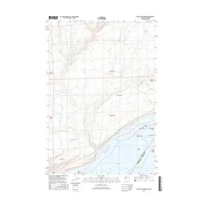
2017 Map of West of Paterson
USGS Topo · Published 2017About this map
Paterson Ridge and Canoe Ridge define the elevation changes of this Benton County landscape, where the high desert terrain meets the northern banks of the Columbia River. This 2017 survey details a specialized agricultural and industrial corridor, centered around operations at Sandpiper Farms and the Columbia Crest winery. The presence of the Columbia Crest Winery Airport underscores the intersection of modern viticulture and logistical infrastructure in this part of Washington.
Find a feature on this map
27 named features on this map. Tap any name to fly to it.
Don’t see what you’re looking for? This feature index may not catch every label — zoom into the map to look around manually.
Map Details
Editions of this 2017 West of Paterson Map
This is the sole edition of this map. No revisions or reprints were ever made.
Other maps of this area

1906 · Blalock Island
USGS Topo · 1:125,000

1908 · Blalock Island
USGS Topo · 1:125,000

1915 · Prosser
USGS Topo · 1:125,000

1917 · Prosser
USGS Topo · 1:125,000

1953 · Pendleton
USGS Topo · 1:250,000

1953 · Walla Walla
USGS Topo · 1:250,000

1956 · Pendleton
USGS Topo · 1:250,000

1958 · Walla Walla
USGS Topo · 1:250,000

1962 · Canoe Ridge
USGS Topo · 1:24,000

1962 · Blalock Island
USGS Topo · 1:24,000