
1943 Map of West Of Texas
USGS Topo · Published 1943About this map
The southern shoreline of Lake Ontario dominates this mid-century survey, conducted by the Tennessee Valley Authority for the U.S. Army. The interior landscape is characterized by its rural educational infrastructure, specifically School No 15 and School No 16, which served the scattered farming population. The settlement of Lakeview sits near the coast, illustrating the early development patterns of Oswego County. This 1943 edition reflects a wartime collaboration between the War Department and the Corps of Engineers, providing a detailed topographic record of the coastal roads and woodland classifications, including areas noted for orchards and vineyards. The proximity of these agricultural features to the lake underscores the region's climate-driven land use at the height of the Second World War.
Find a feature on this map
5 named features on this map. Tap any name to fly to it.
Don’t see what you’re looking for? This feature index may not catch every label — zoom into the map to look around manually.
Map Details
Editions of this 1943 West Of Texas Map
This is the sole edition of this map. No revisions or reprints were ever made.
Other maps of this area

1900 · Oswego
USGS Topo · 1:62,500

1900 · Fulton
USGS Topo · 1:62,500

1943 · Oswego East
USGS Topo · 1:31,680

1943 · New Haven
USGS Topo · 1:31,680

1943 · Oswego West
USGS Topo · 1:31,680

1943 · Texas
USGS Topo · 1:31,680
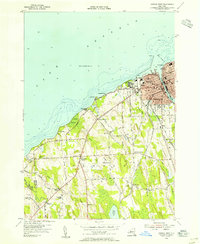
1954 · Oswego West
USGS Topo · 1:24,000
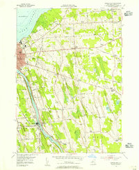
1954 · Oswego East
USGS Topo · 1:24,000
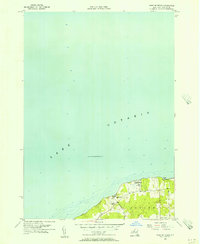
1955 · West Of Texas
USGS Topo · 1:24,000
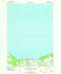
1955 · Texas
USGS Topo · 1:24,000