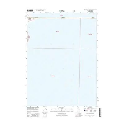
2015 Map of West of Willow Ranch
USGS Topo · Published 2015About this map
Goose Lake dominates this 2015 survey, covering the vast majority of the quadrangle where the high desert waters straddle the border between Oregon and California. The map records the interface between the alkaline lake bed and the western shoreline, where the Modoc National Forest rises into the Warner Mountains. The rugged western fringe is traced by W Side Road, providing the primary terrestrial access through this sparsely developed landscape. This document captures the hydrologic extent of the lake at a specific moment in the early 21st century, illustrating the intersection of Lake County and Modoc County along the historic state line.
Find a feature on this map
10 named features on this map. Tap any name to fly to it.
Don’t see what you’re looking for? This feature index may not catch every label — zoom into the map to look around manually.
Map Details
Editions of this 2015 West of Willow Ranch Map
This is the sole edition of this map. No revisions or reprints were ever made.
Other maps of this area

1886 · Alturas
USGS Topo · 1:250,000

1892 · Alturas
USGS Topo · 1:250,000

1954 · Alturas
USGS Topo · 1:250,000

1955 · Klamath Falls
USGS Topo · 1:250,000

1958 · Alturas
USGS Topo · 1:250,000

1958 · Klamath Falls
USGS Topo · 1:250,000

1962 · Alturas
USGS Topo · 1:250,000

1962 · Willow Ranch
USGS Topo · 1:62,500

1962 · South Mountain
USGS Topo · 1:62,500

1964 · Lakeview SW
USGS Topo · 1:24,000