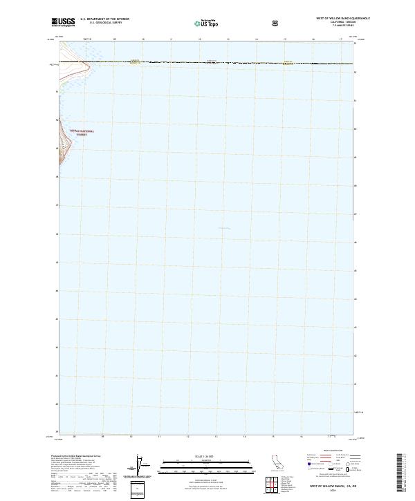
2021 Map of West of Willow Ranch
USGS Topo · Published 2021About this map
Goose Lake dominates the center of this landscape, its vast alkaline waters spanning the interstate boundary between California and Oregon. The shoreline shown here is dynamic, reflecting the fluctuating levels of this endorheic basin within the High Desert region. Along the western edge, the foothills of the Modoc National Forest begin to rise above the lakebed, offering a stark contrast to the flat expanse of the water. The corridor of West Side Road skirts the base of these hills, providing the primary north-south transit route through this sparsely populated corner of Modoc County. The map clearly delineates the administrative division where Lake County, Oregon meets Modoc County, California, capturing the intersection of state and federal land management in the early 21st century.
Find a feature on this map
11 named features on this map. Tap any name to fly to it.
Don’t see what you’re looking for? This feature index may not catch every label — zoom into the map to look around manually.
Map Details
Editions of this 2021 West of Willow Ranch Map
This is the sole edition of this map. No revisions or reprints were ever made.
Other maps of this area

1886 · Alturas
USGS Topo · 1:250,000

1892 · Alturas
USGS Topo · 1:250,000

1954 · Alturas
USGS Topo · 1:250,000

1955 · Klamath Falls
USGS Topo · 1:250,000

1958 · Alturas
USGS Topo · 1:250,000

1958 · Klamath Falls
USGS Topo · 1:250,000

1962 · Alturas
USGS Topo · 1:250,000

1962 · Willow Ranch
USGS Topo · 1:62,500

1962 · South Mountain
USGS Topo · 1:62,500

1964 · Lakeview SW
USGS Topo · 1:24,000