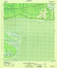
1943 Map of West Pass
USGS Topo · Published 1943About this map
Apalachicola Airport stands as a prominent installation near the gulf coast during the early 1940s, its runways cutting a geometric contrast against the surrounding marsh and timberland. This coastal area of Franklin County is defined by the meeting of the Apalachicola River and the complex waterways of St Vincent Sound. To the north, the Apalachicola Northern railroad tracks parallel the shoreline, connecting small outposts like Tilton and the P. and R. Ranch.
Find a feature on this map
26 named features on this map. Tap any name to fly to it.
Don’t see what you’re looking for? This feature index may not catch every label — zoom into the map to look around manually.
Map Details
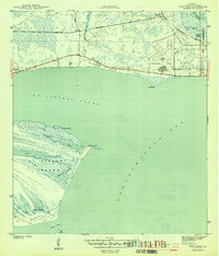
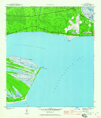
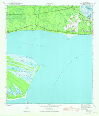
Editions of this 1943 West Pass Map
5 editions found
Other maps of this area

1943 · West Pass
USGS Topo · 1:31,680

1943 · Apalachicola
USGS Topo · 1:31,680

1943 · Indian Pass
USGS Topo · 1:24,000

1943 · Jackson River
USGS Topo · 1:24,000

1944 · Apalachicola
USGS Topo · 1:24,000

1945 · Cape St. George
USGS Topo · 1:31,680

1945 · Lake Wimico
USGS Topo · 1:31,680

1945 · Beverly
USGS Topo · 1:31,680

1945 · Jackson River
USGS Topo · 1:31,680

1945 · Indian Pass
USGS Topo · 1:31,680