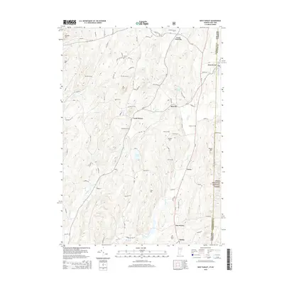
2015 Map of West Pawlet
USGS Topo · Published 2015About this map
The New York Vermont state line splits this landscape, where the rural hamlets of West Pawlet and South Granville serve as anchoring points for a terrain defined by ridges and valley streams. Genealogists will find a high density of small family and community burial grounds, including the Tanner Cem, Reynolds Cem, and Glasier Cem, scattered among the hills. The landscape is dominated by notable heights such as Mt Tom and Grimes Hill, with the eastern edge of the map dipping into the Green Mountain National Forest. Waterways like the Indian River and Black Cr wind through the valleys, connecting smaller settlements like North Hebron, Slateville, and Tiplady via a network of historic routes like RT-22 and CR-31.
Find a feature on this map
90 named features on this map. Tap any name to fly to it.
Don’t see what you’re looking for? This feature index may not catch every label — zoom into the map to look around manually.
Map Details
Editions of this 2015 West Pawlet Map
This is the sole edition of this map. No revisions or reprints were ever made.
Other maps of this area

1893 · Fort Ann
USGS Topo · 1:62,500

1894 · Pawlet
USGS Topo · 1:62,500

1894 · Equinox
USGS Topo · 1:62,500

1895 · Cambridge
USGS Topo · 1:62,500

1895 · Fort Ann
USGS Topo · 1:62,500

1896 · Equinox
USGS Topo · 1:62,500

1897 · Pawlet
USGS Topo · 1:62,500

1898 · Cambridge
USGS Topo · 1:62,500

1898 · Fort Ann
USGS Topo · 1:62,500

1900 · Equinox
USGS Topo · 1:62,500