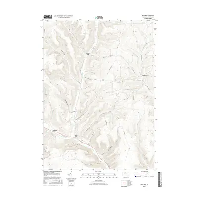
2016 Map of West Pike
USGS Topo · Published 2016About this map
West Pike serves as a central point along the winding course of Pine Creek in this northern Pennsylvania landscape. The terrain is defined by a dense network of branching valleys, or hollows, such as Hardscrabble Hollow, Judson Hollow, and Crandall Hollow, which drain the high ridges of Stiles Hill and Parker Hill. The settlement pattern follows the water, with Loucks Mills situated at the confluence of Genesee Forks and Dry Run, while Sunderlinville anchors the eastern edge of the map near Phoenix Run. These small communities and family-named landmarks illustrate the historical reliance on narrow valley floors for transportation and habitation. Higher elevations offer vantage points like Rock Run Vista and Telescope, overlooking the complex hydrology of Johnson Brook and Stonylick Run that eventually feed into the larger creek system.
Find a feature on this map
52 named features on this map. Tap any name to fly to it.
Don’t see what you’re looking for? This feature index may not catch every label — zoom into the map to look around manually.
Map Details
Editions of this 2016 West Pike Map
This is the sole edition of this map. No revisions or reprints were ever made.
Other maps of this area

1899 · Gaines
USGS Topo · 1:62,500

1900 · Gaines
USGS Topo · 1:62,500

1932 · Genesee
USGS Topo · 1:62,500

1937 · Genesee
USGS Topo · 1:62,500

1947 · Conrad
USGS Topo · 1:62,500

1947 · Galeton
USGS Topo · 1:62,500

1947 · Cherry Springs
USGS Topo · 1:24,000

1947 · Galeton
USGS Topo · 1:24,000

1947 · Marshlands
USGS Topo · 1:24,000
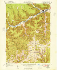
1949 · Galeton
USGS Topo · 1:24,000
Featured Places
- Hector Township, PA
- Loucks Mills, Hector Township
- Sunderlinville, Hector Township
- Pike Township, PA
- Ulysses Township, PA