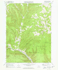
1969 Map of West Pike
USGS Topo · Published 1969About this map
West Pike sits at the confluence of several vital waterways in Potter County during the late 1960s, a period where the landscape was defined by industrial utility and public conservation. The community of Loucks Mills and the nearby Sunderlinville anchor the northern reaches of the map, connected by a network of rural roads such as Bump Road and Carling Road. This era shows a clear reliance on the land's natural resources, evidenced by the presence of Quarries and a Gravel Pit, while a prominent Pipeline cuts across the northern ridges near California Creek.
Find a feature on this map
51 named features on this map. Tap any name to fly to it.
Don’t see what you’re looking for? This feature index may not catch every label — zoom into the map to look around manually.
Map Details
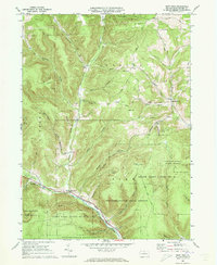
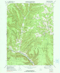
Editions of this 1969 West Pike Map
3 editions found
Other maps of this area

1899 · Gaines
USGS Topo · 1:62,500

1900 · Gaines
USGS Topo · 1:62,500

1932 · Genesee
USGS Topo · 1:62,500

1937 · Genesee
USGS Topo · 1:62,500

1947 · Conrad
USGS Topo · 1:62,500

1947 · Galeton
USGS Topo · 1:62,500

1947 · Cherry Springs
USGS Topo · 1:24,000

1947 · Galeton
USGS Topo · 1:24,000

1947 · Marshlands
USGS Topo · 1:24,000
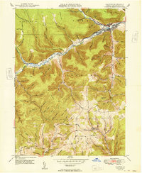
1949 · Galeton
USGS Topo · 1:24,000
Featured Places
- Hector Township, PA
- West Pike, Pike Township
- Pike Township, PA
- Loucks Mills, Hector Township
- Ulysses Township, PA