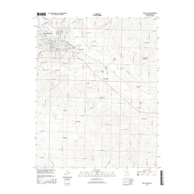
2015 Map of West Plains
USGS Topo · Published 2015About this map
West Plains serves as the primary urban center for this portion of Howell County, anchored by the campus of Missouri State University-West Plains and expanding southeast along the Ozark plateau. The landscape is defined by the convergence of several waterways, including N Fork Howell Cr, S Fork Howell Cr, and the main stem of Howell Cr, which weave through the southern half of the quadrangle. Outside the city limits, the terrain transitions into a mosaic of small named settlements such as Howell Valley, Frankville, and Chapin. Local history and genealogy are well-represented by numerous family and community burial grounds, including Oak Lawn Cemetery, Parker Cemetery, and Howell County Cemetery. To the south, the topography features distinctive landmarks like Hines Hill and Mustion Hollow, while the aviation needs of the valley are met by the Howell Valley Airport.
Find a feature on this map
125 named features on this map. Tap any name to fly to it.
Don’t see what you’re looking for? This feature index may not catch every label — zoom into the map to look around manually.
Map Details
Editions of this 2015 West Plains Map
This is the sole edition of this map. No revisions or reprints were ever made.
Other maps of this area

1938 · West Plains
USGS Topo · 1:24,000

1940 · West Plains
USGS Topo · 1:24,000

1943 · Thayer
USGS Topo · 1:62,500

1944 · West Plains
USGS Topo · 1:62,500

1945 · Willow Springs
USGS Topo · 1:62,500

1945 · Montier
USGS Topo · 1:62,500

1946 · Thayer
USGS Topo · 1:62,500

1946 · West Plains
USGS Topo · 1:62,500

1948 · Montier
USGS Topo · 1:62,500

1948 · Willow Springs
USGS Topo · 1:62,500