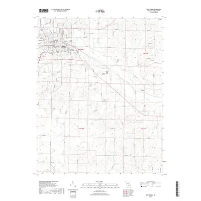
2017 Map of West Plains
USGS Topo · Published 2017About this map
West Plains serves as the focal point of this Ozark landscape, where the converging branches of N Fork Howell Cr and S Fork Howell Cr meet. The town's grid reflects its growth as a regional hub, featuring Missouri State University West Plains and the historic Oak Lawn Cem near Hines Hill. Beyond the city limits, the terrain shifts into a network of creek valleys and hollows, such as Mustion Hollow, which dictate the placement of rural settlements and transport corridors.
Find a feature on this map
129 named features on this map. Tap any name to fly to it.
Don’t see what you’re looking for? This feature index may not catch every label — zoom into the map to look around manually.
Map Details
Editions of this 2017 West Plains Map
This is the sole edition of this map. No revisions or reprints were ever made.
Other maps of this area

1938 · West Plains
USGS Topo · 1:24,000

1940 · West Plains
USGS Topo · 1:24,000

1943 · Thayer
USGS Topo · 1:62,500

1944 · West Plains
USGS Topo · 1:62,500

1945 · Willow Springs
USGS Topo · 1:62,500

1945 · Montier
USGS Topo · 1:62,500

1946 · Thayer
USGS Topo · 1:62,500

1946 · West Plains
USGS Topo · 1:62,500

1948 · Montier
USGS Topo · 1:62,500

1948 · Willow Springs
USGS Topo · 1:62,500