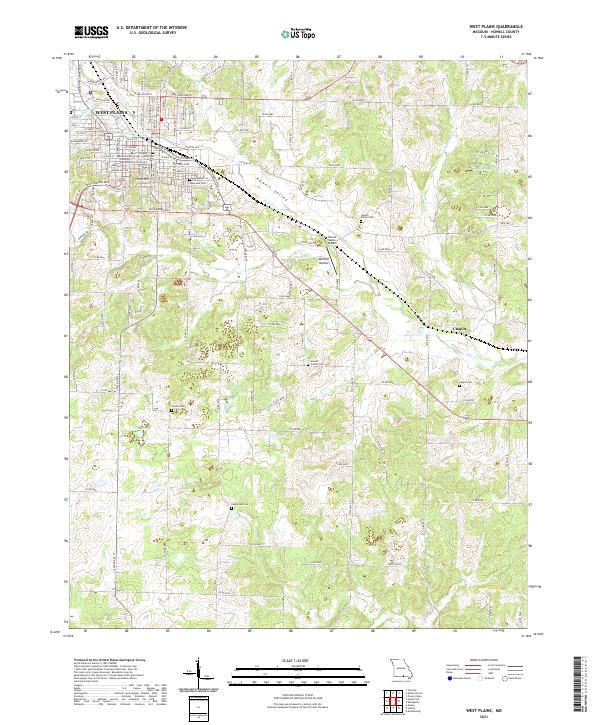
2021 Map of West Plains
USGS Topo · Published 2021About this map
West Plains serves as the regional hub of Howell County, centered around the Howell County Courthouse and the campus of Missouri State University West Plains. The landscape is defined by the branching waters of Howell Creek, including the North Fork and South Fork, which converge near the downtown core. This modern survey illustrates the town's expansion along transit corridors like Preacher Roe Blvd and the BNSF Railway line that cuts through the valley.
Find a feature on this map
130 named features on this map. Tap any name to fly to it.
Don’t see what you’re looking for? This feature index may not catch every label — zoom into the map to look around manually.
Map Details
Editions of this 2021 West Plains Map
This is the sole edition of this map. No revisions or reprints were ever made.
Other maps of this area

1938 · West Plains
USGS Topo · 1:24,000

1940 · West Plains
USGS Topo · 1:24,000

1943 · Thayer
USGS Topo · 1:62,500

1944 · West Plains
USGS Topo · 1:62,500

1945 · Willow Springs
USGS Topo · 1:62,500

1945 · Montier
USGS Topo · 1:62,500

1946 · Thayer
USGS Topo · 1:62,500

1946 · West Plains
USGS Topo · 1:62,500

1948 · Montier
USGS Topo · 1:62,500

1948 · Willow Springs
USGS Topo · 1:62,500